Drillholes
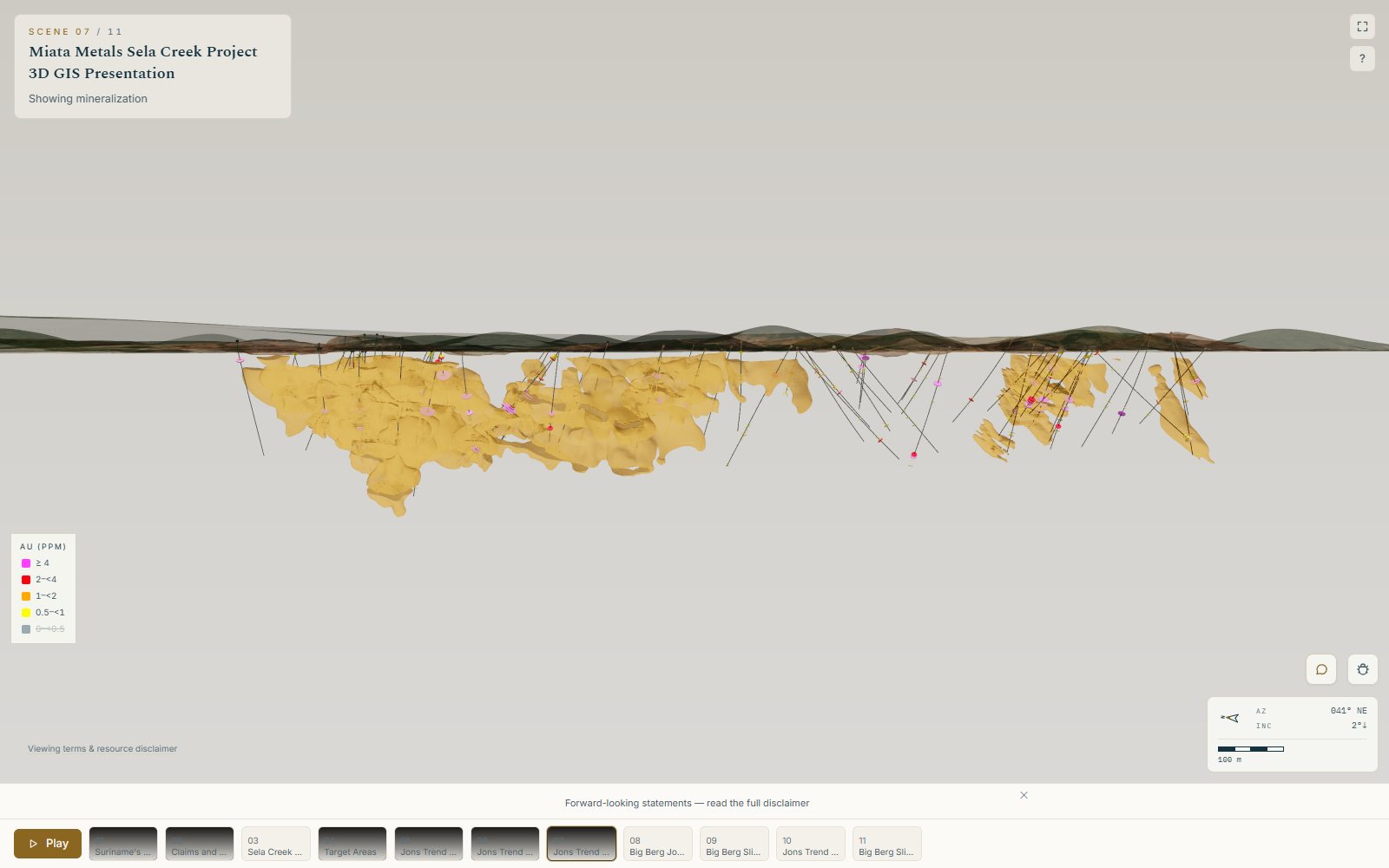
Collar, survey, assay and lithology CSVs. ES3D recognises and maps the columns, desurveys the holes into true 3D traces and validates every interval.
ES3D for Geologists & QPs Investor relations CEOs & boards
For geologists & qualified persons
An investor tour is a public disclosure with your work in it. ES3D draws the drilling and the intercepts you released, where they really sit, and never computes a figure of its own. You review the tour before anyone else sees it.
What stays yours
The questions a QP asks before a picture goes public, each answered by how the product works.
ES3D reads the formats exploration teams keep, with no re-modelling and no conversion service. It checks the files as they arrive and says out loud when something doesn’t reconcile.
Collar, survey, assay and lithology CSVs. ES3D recognises and maps the columns, desurveys the holes into true 3D traces and validates every interval.
Leapfrog meshes and block models, DXF and OBJ wireframes, in one coordinate frame with the drilling that built them.
Shapefiles, GeoJSON and DXF for claims, targets and faults; GeoTIFF elevation and imagery draped on real terrain, reprojected where sources disagree.
The Sela Creek tour rebuilt from its own files, narrated: imports, styling, callouts, distance arrows and slices through the veins.
Free for 7 days · no card
Bring a collar, survey and assay file and see your project in true 3D. Or send them to the studio and we will build the first tour with you.